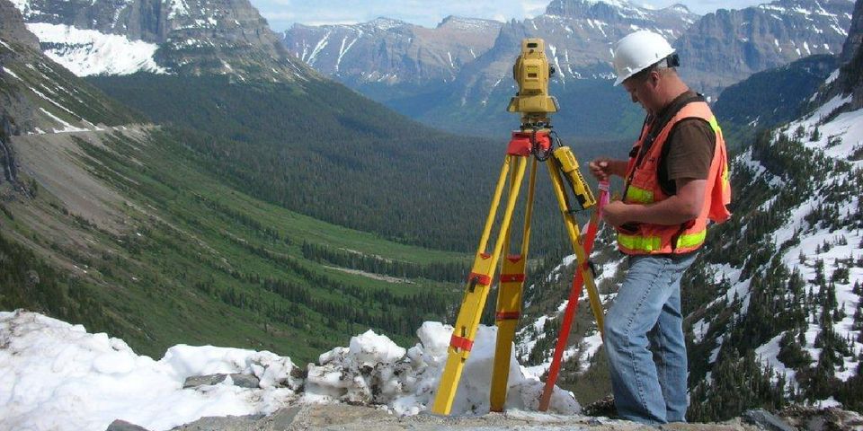
Land surveying is an important part of both property ownership and land development. Depending on the project you're considering, there are a few different types of surveying that might benefit you. This list will help you determine what service best suits your needs.
What Are the Most Common Types of Land Surveying?
1. Topographic Surveys
Topographic surveys map the changes in elevation on a piece of land to give the surveyors an idea of the area's topography. This is often done through a combination of aerial photography, which can distinguish the boundaries of different topographical features, and field surveying, which is useful for measuring changes in the landscape. Features documented this way include ditches, hills, roads, utilities, embankments, and much more.
2. Boundary Surveys
Boundary surveys are typically ordered by land owners and property developers who need to confirm and solidify the boundaries of their property. These surveys reference land documentation to verify where the property lines lie, and they are sometimes used to adjust what land is owned by who. They usually take about a few hours, depending on the property size.
3. Site Planning Surveys
This type of land surveying is a combination of topographic and boundary surveys used to help engineers design residential, commercial, and industrial lots. They are often required before a development permit can be issued or even applied for. Site planning surveys map the edges of a property as well as the topographic features, and the data is then used to understand what type of grading and excavation must be done before construction can start.
If you're in need of land surveying, reach out to Jackola Engineering & Architecture PC in Kalispell, MT. For over half a century, these professional engineers have helped land owners determine their property lines and map their land. Learn more about their services online, and call (406) 586-0707 to schedule a consultation.
About the Business
Have a question? Ask the experts!
Send your question

