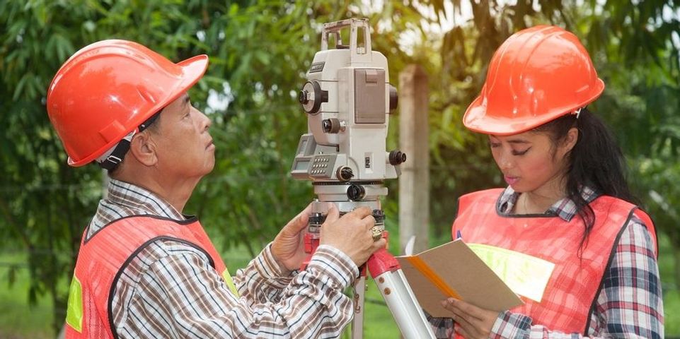
The study of geography has long been important to people's understanding of where we are in the world around us. The practice of measuring and documenting the land dates back to ancient Egypt—and today, it has enabled some of our most useful everyday technologies. The role of a land surveyor is vital to the process of charting the world around us, translating the lines on the map into the real world and back again.
Throughout History
The first land surveyors in recorded history date to 1400 BC. The Egyptian king Sesostris had the land under his rule divided into plots. This was largely to simplify and regulate taxes in the kingdom. The Romans, meanwhile, used the surveying techniques of the time to plot large-scale building projects. Much later, in the 18th and 19th centuries, the U.S. and Europe began large-scale surveying and mapping projects for navigational and military purposes.
Today
 In the modern world, survey companies still create maps and help define plots of land for taxation. But perhaps the most widely used body of geographical data is incorporated into GPS technology. Every time you pull up a map on your smartphone, you are drawing on the work of land surveyors who have measured and defined roads, buildings, geographical features, and borders across the nation.
Types of Surveying
There are several types of information a surveyor can gather, each with different uses. Some of the main types are as follows:
-
Land Surveying: This type is concerned with locating and marking certain locations on the land, such as specific geographic or man-made features or the boundaries of a property.
-
Topographic Surveying: To create a topographic map, the mapmaker needs information about the elevation of the land and how it changes across the entire area.
-
Engineering Surveying: This field of surveying is an essential step in designing and building structures and roads.
-
Deformation Surveying: If an object or structure is suspected to be shifting over time, surveyors will check its position multiple times to ascertain the speed and direction of the movement.
Today more than ever before, land surveyors play essential roles in construction, government functions, navigation, and understanding and mapping our world. The next time you're trying to find a local restaurant on your phone, take a moment to appreciate the work of the surveyors who made it possible.
Flynn & CYR Land Surveying in Kensington, CT, is happy to help you measure, document, and build on your survey site. Their experienced land surveyors are licensed to operate across the state of Connecticut. For an estimate on your project, call (860) 828-7886, or send them a message online.
About the Business
Have a question? Ask the experts!
Send your question

